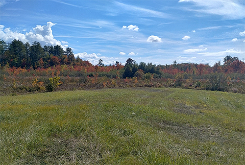
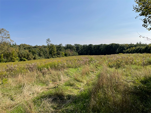
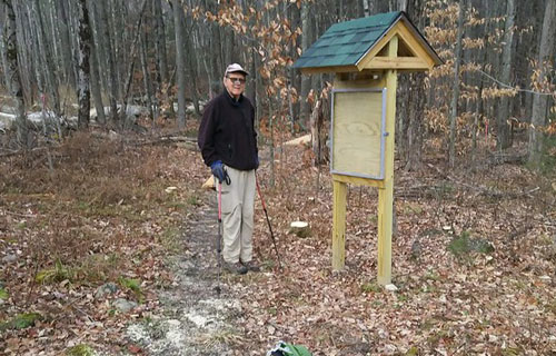
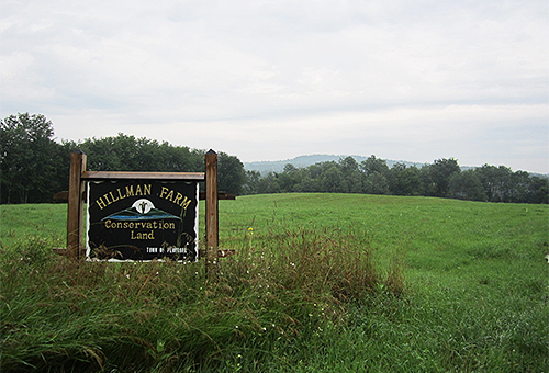
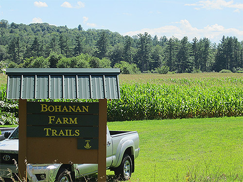
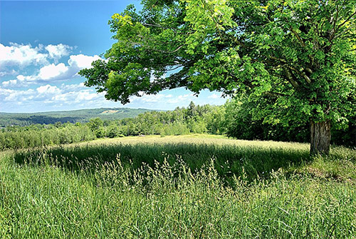
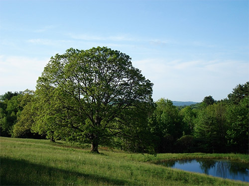
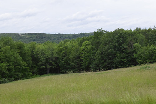
Route 107/Province Road
102 acres of forest, hayfields, and scenic views
No public access
April 2026
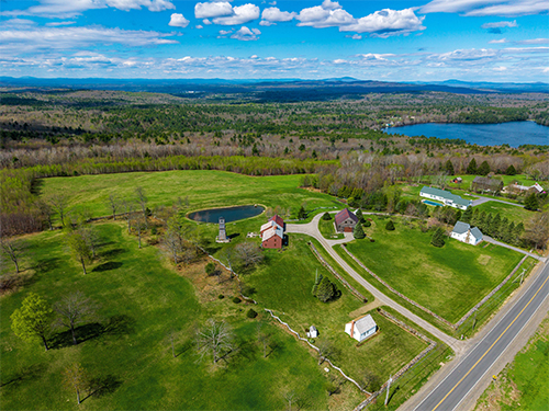
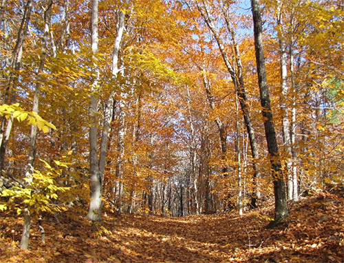
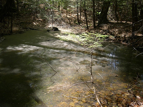
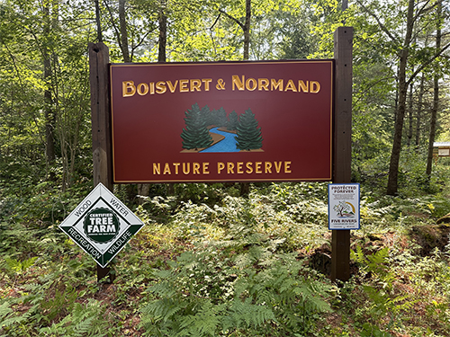
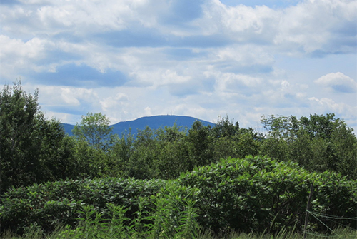
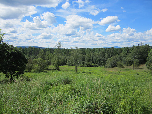
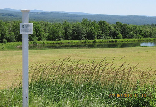
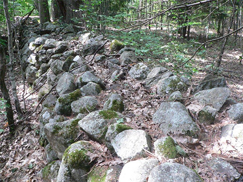
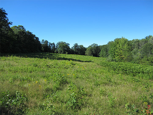
When traveling on Route 107/Province Road in Gilmanton, the shady, wooded road opens suddenly, at the crest of Frisky Hill, to a wide expanse of brilliant sky, mountains and hayfields. This magical place is one of Gilmanton’s greatest views that seems to stretch on forever toward Loon Pond and the Belknap Range. Thanks to Stephen and Judy Hopkins, just over 102 acres of this remarkable landscape have been permanently protected through a donated conservation easement held by Five Rivers Conservation Trust. The conserved land sits atop Frisky Hill within the Loon Pond watershed and helps safeguard a landscape of forest, hayfields, stone walls, wildlife habitat, and scenic views.
For Stephen and Judy, the decision to conserve their land reflects a deeply held belief in shared responsibility for the earth and for one another. In correspondence with Five Rivers, Stephen described his and Judy’s broader values as rooted in human connection, care for the planet, education, justice, equality, and service. “We believe the earth was entrusted to us as a sublime gift and legacy, for which all of us share responsibility,” they wrote.
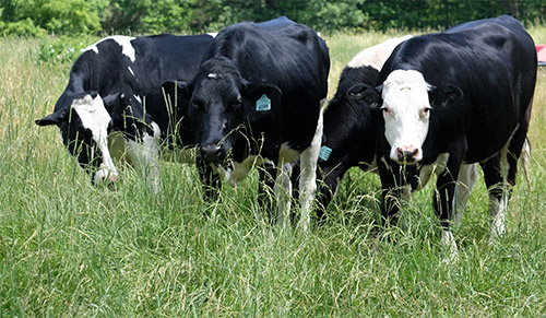
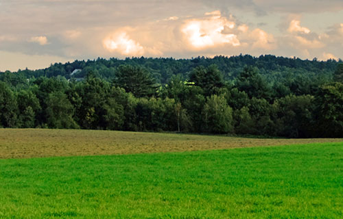
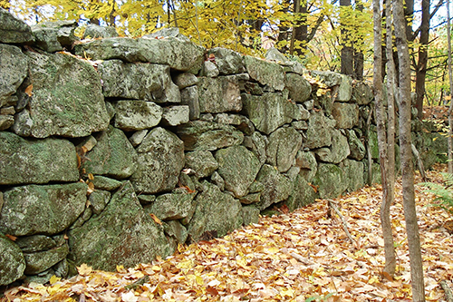
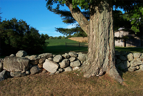
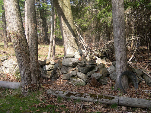
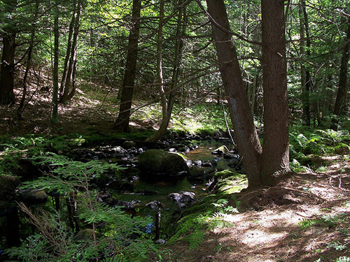
The Hopkins property tells a long story of land use and care. Aerial photos and topographic maps indicate that the land has remained undeveloped agricultural land and forest since after the Civil War. Old stone walls throughout the property point to a history of pasturing, once common in this part of New Hampshire. The Hopkins’ have restored formerly abandoned fields that now produce hay and have rebuilt several stone walls, including those along Province Road. Today, the protected land is predominantly forested, with open fields that continue to support local agricultural use.
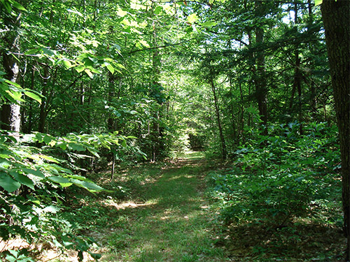
The conservation values of the land are significant. The property lies within the Soucook River watershed and immediately upstream from Loon Pond, with drainageways that flow toward the pond. It includes high-quality wildlife habitat identified in New Hampshire’s 2025 Wildlife Action Plan, along with wildlife corridors, climate-resilient forest, and important agricultural soils. The land also provides scenic and recreational value, with frontage on Province Road and Thistle Road, views from the fields and snowmobile trail, and a connection to the Gilmanton snowmobile trail system.
This newly conserved property also strengthens a larger network of protected land in Gilmanton. More than 1,000 acres of conserved land lie within one mile of the Hopkins Conservation Area, including several properties already protected by Five Rivers. Located directly across Province Road from two conserved Frisky Hill properties, the Hopkins land adds to a meaningful landscape of forests, fields, wildlife habitat, and open space.
Through their conservation gift, Stephen and Judy Hopkins have created a legacy—one that reflects humility, care, and a belief that protecting land is both a personal act and a shared responsibility. And for those who continue to travel Province Road, it preserves the chance to gasp in delight each time the road crests Frisky Hill.
 Wyman Road
 West Road
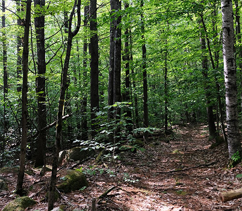 Stark Highway North
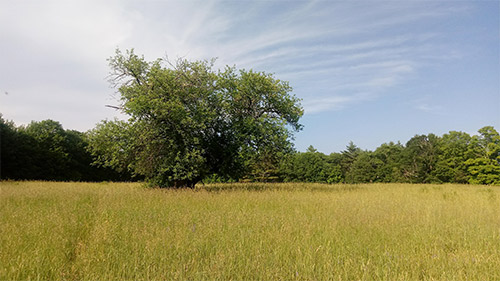
 130 Hutchinson Road
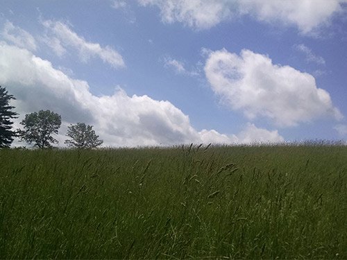
 Stone Road
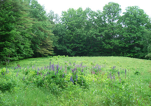
 Little Tooky & Penacook Roads
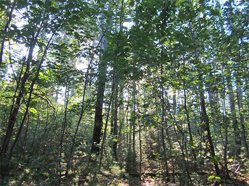 Maple Street
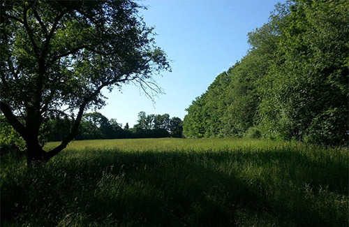
 Route 107, Loon Pond and Meetinghouse Pond Roads
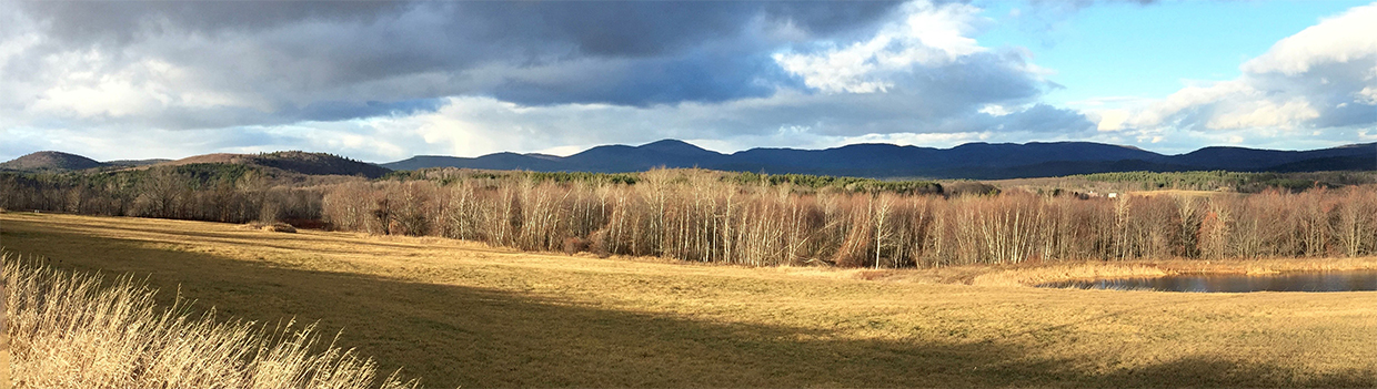
 Perkins Road
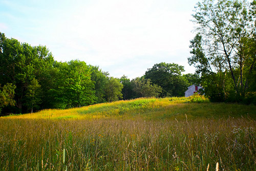
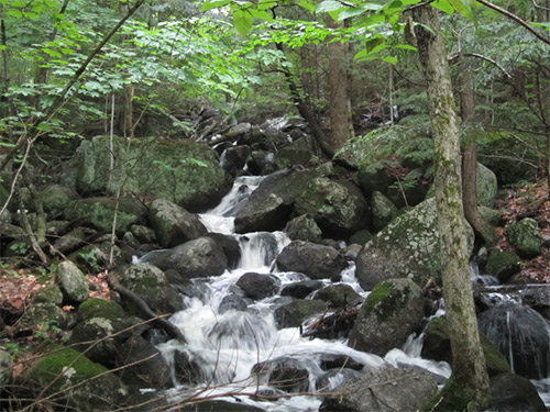 Gleason Falls Road
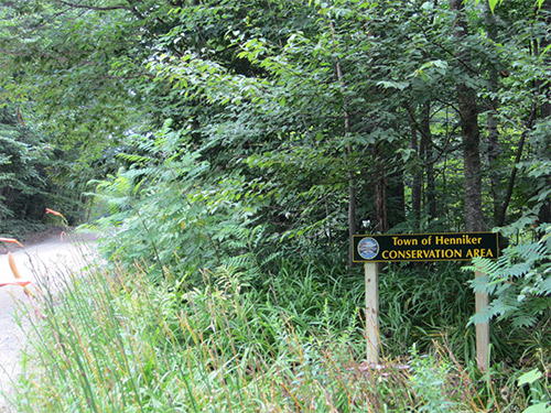 Warner Road and Brown Brook
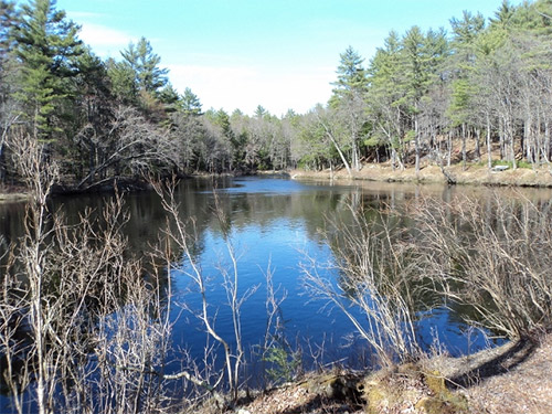 Western Avenue
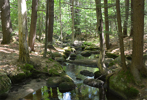
 Grapevine and Guinea Roads
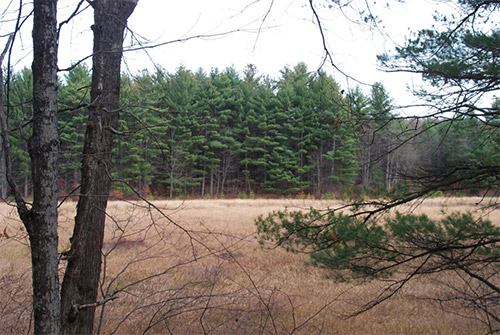 Black Brook Road at the Goffstown town line
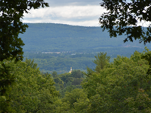
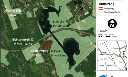
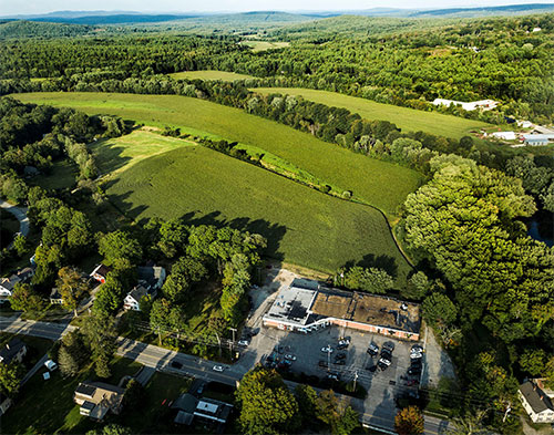
 Hopkinton Road adjacent to Dimond Hill Farm
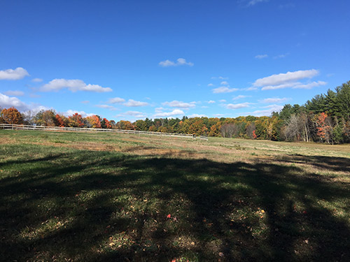 Stickney Hill Road
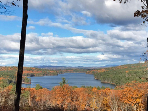
 Stickney Hill Road
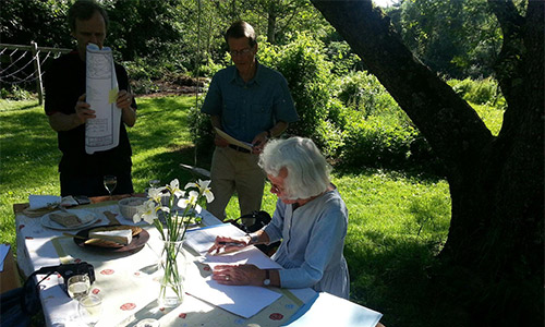 With the conclusion of the Stickney Hill transaction, Hope became a member of Five Rivers’ double donor club because in 2005 she donated a conservation easement on a 24 acre property in Hopkinton. “This is a proud and happy moment for me”, she shared, as documents were signed on an outside picnic table, under an apple tree at her Stickney Hill homestead.
 Oak Hill Road
 With his donation, Ray actually follows in the footsteps of his father who, years ago, gave a section of wetlands right on the water to the New Hampshire Fish and Game Department. The Fourniers have cemented their place in the city of Concord’s history by ensuring that the property that came into the family nearly a hundred years ago will remain intact well past the next one hundred years.
 Rt. 127 and Pearson Hill Road
 Bog Road
 Ames Road
 On Old Gilmanton Road
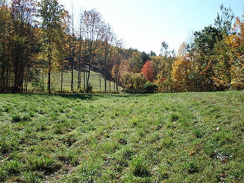 On Shaker Road, North of Shaker Village
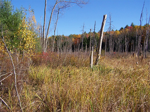 Hackleboro Road
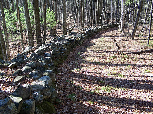 On both sides of Dunbarton Center Road
 It is little wonder that Stan loved his gem of a property and wanted to see it remain intact and unfettered for future generations. How fortunate we all are now for Stan’s conservation ethic and for his far-sighted act of land conservation.
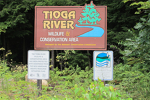 Route 140
 Bean Hill Road
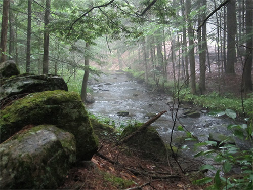 Clough Pond Road